Botanic Ring
Proposed planted ring within the south-western garden enclosure.
LOCATE ON THE ATLAS →PUBLIC FIELD GUIDE
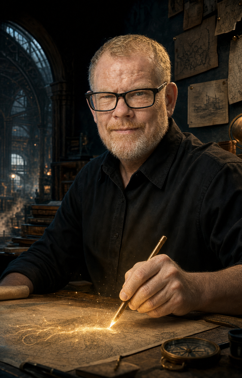
WELCOME TO
A public survey of an expanding fictional world—built from original drawings, connected through deliberate storytelling, and governed by one creator who retains the final and occasionally inconvenient word.
THE CREATOR
Artist, worldbuilder, sole creator of the Living Atlas, and Editor-in-Chief of Canon.
Every inhabitant begins with an original drawing by Björgvin. Those sketches are not disposable inputs: they are preserved as the first evidence that a resident existed, long before the world had found them an occupation, an address or an administrative difficulty.
Björgvin decides the names, character truth, visual direction, relationships and stories that become part of the world. Creative tools may analyse, propose and help develop his work, but they do not own the characters and cannot decide what becomes canon.
One hand begins the world. Many systems may offer paperwork.
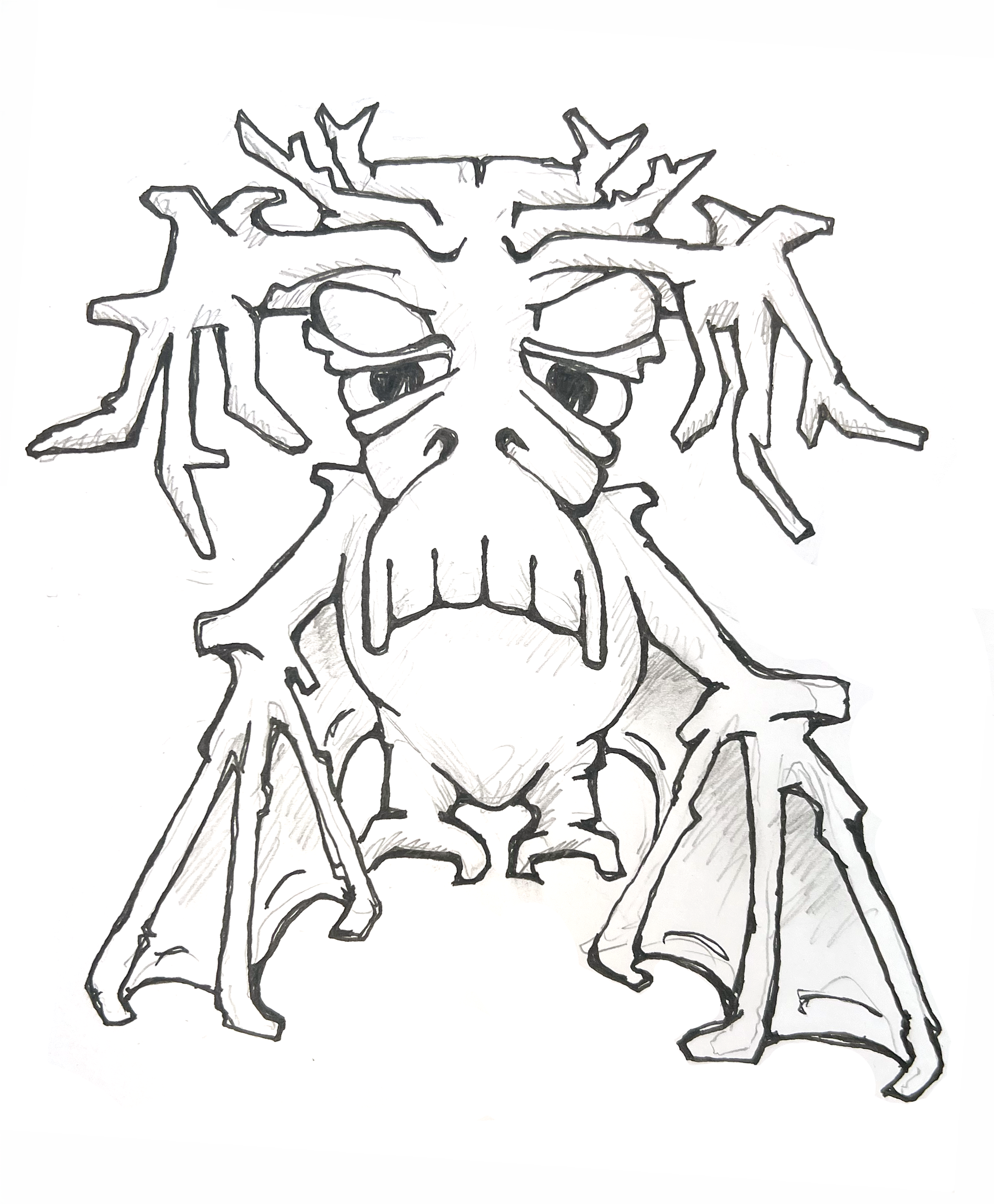
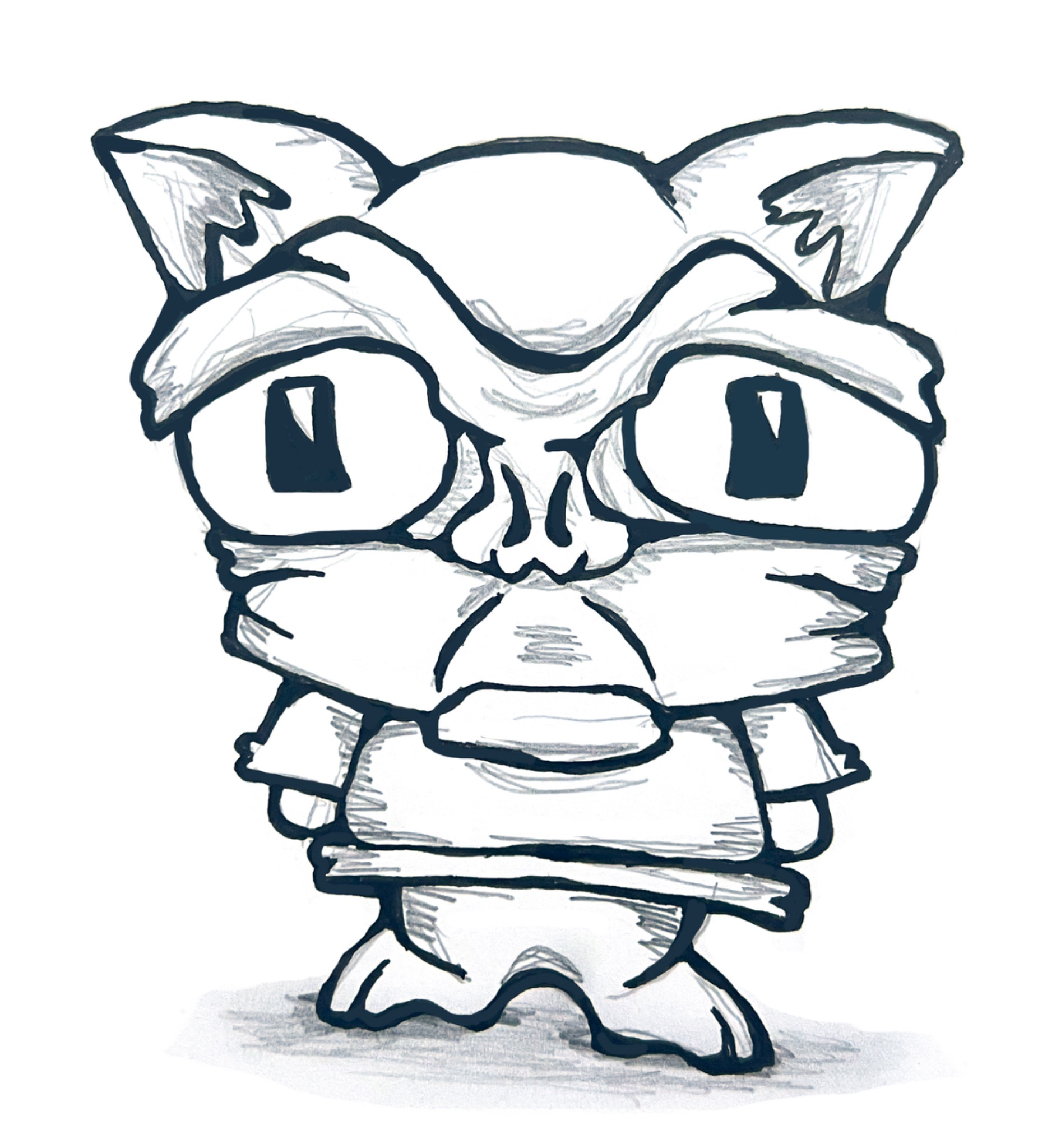
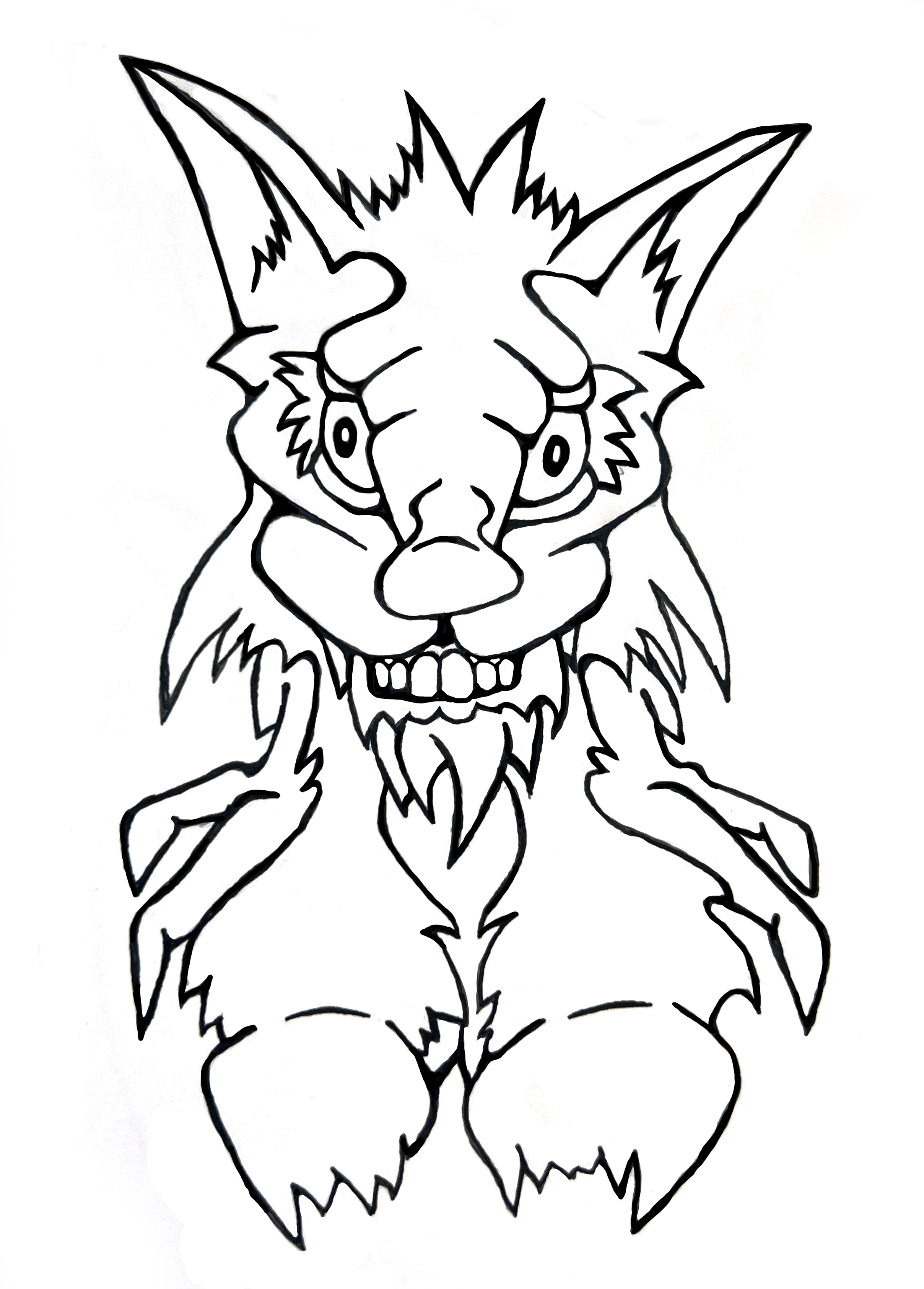
WHERE TO BEGIN
Follow whichever kind of curiosity arrived first. The records cross-link when the world has something useful—or suspicious—to add.
Explore the governed map, find inhabitants and inspect places. Unmarked terrain is unresolved, not empty.
OPEN THE SURVEY →02 / NARRATIVERead 3 approved incidents as the district currently understands them, or claims to.
READ THE EDITION →03 / ARCHIVALInspect 31 public inhabitant records, including released original drawings and approved interpretations.
ENTER THE RECORDS ROOM →04 / EXPLANATORYTranslate the Atlas's recurring terms without requiring a degree in municipal cryptozoology.
CONSULT THE TERMS →HOW THE WORLD BECOMES TRUE
An original drawing arrives and is preserved unchanged.
Descriptions, names, visual directions and connections are prepared as private proposals.
Björgvin accepts, changes or rejects what has been proposed.
Approved truth receives provenance and an auditable place in world history.
The Atlas, Archive and Recorder change because the world now knows something new.
LEXICON / CURRENT EDITION
These definitions explain the system and its public records. They do not create new lore, however persuasive the typography becomes.
CURRENT PUBLIC GAZETTEER
Only approved Place records appear below. The horizon has not been asked to fill in the gaps.
Proposed planted ring within the south-western garden enclosure.
LOCATE ON THE ATLAS →Proposed market anchor around the lower central glass-and-cable hub.
LOCATE ON THE ATLAS →Proposed exchange beneath the long northern glazed canopy.
LOCATE ON THE ATLAS →Proposed market cluster among the north-eastern canopy structures.
LOCATE ON THE ATLAS →A public square recorded on the current district survey.
LOCATE ON THE ATLAS →A turquoise tidal town built down the walls of a flooded cleft. Streets become canals twice a day, front doors acquire temporary piers, and an address is considered accurate only if it includes the hour, the tide and whether the occupant owns sensible boots.
LOCATE ON THE ATLAS →A pale blue upland settlement of observatories, kite bridges and low white towers built where clouds repeatedly snag on the hills. Cloudrest catches fog for water, rents favourable winds and maintains that weather is public infrastructure even when the weather declines to attend meetings.
LOCATE ON THE ATLAS →Proposed anchor for the copper-toned central-west circular works.
LOCATE ON THE ATLAS →Proposed canal-side access point in the eastern district.
LOCATE ON THE ATLAS →Proposed market court within the east-bank streets and covered stalls.
LOCATE ON THE ATLAS →Proposed mooring platform on the easternmost circular structure.
LOCATE ON THE ATLAS →A canal landing where changing tide routes, cargo and access are inspected.
LOCATE ON THE ATLAS →Proposed open court beside the northern fog-catching structures.
LOCATE ON THE ATLAS →Proposed conservatory-like anchor in the eastern glazed-root district.
LOCATE ON THE ATLAS →A rose-and-copper mineral reach where certain storms fuse the upper sand into temporary roads of coloured glass. Settlements travel between old wind towers, following surfaces that are excellent for wheels, terrible for horses and legally roads only after somebody has fallen over on them.
LOCATE ON THE ATLAS →The district's principal rail interchange and civic point of arrival.
LOCATE ON THE ATLAS →A working station district organised around arrivals, maintenance, civic records and the practical consequences of keeping a strange town moving.
LOCATE ON THE ATLAS →A working rail yard within Gristlewick Station District.
LOCATE ON THE ATLAS →Proposed lower central ward around the compact bright-roofed blocks.
LOCATE ON THE ATLAS →Proposed upper stair route on the western side of the central cleft.
LOCATE ON THE ATLAS →Proposed shared basin close to the central paths and glass-roofed structures.
LOCATE ON THE ATLAS →Proposed lower arrival circle where the assembly's bridge routes meet.
LOCATE ON THE ATLAS →A restricted maintenance area shown on the current district survey.
LOCATE ON THE ATLAS →A public counter for repairs, returns and left luggage in Gristlewick Station District.
LOCATE ON THE ATLAS →Proposed terrace at the lower western network of mossed bridges.
LOCATE ON THE ATLAS →An annex at the edge of the surveyed civic quarter.
LOCATE ON THE ATLAS →Proposed lower dock at the junction of the suspended net lines.
LOCATE ON THE ATLAS →Proposed name for the high bridge line running through Cloudrest's northern rock.
LOCATE ON THE ATLAS →Proposed circular survey platform among Cloudrest's western towers.
LOCATE ON THE ATLAS →A covered run of vendor counters and platform approaches in Gristlewick Station District.
LOCATE ON THE ATLAS →Proposed rail arrival gate along the north-eastern line.
LOCATE ON THE ATLAS →A public-facing record point within the station district.
LOCATE ON THE ATLAS →Proposed terminus at the lower western rail curve.
LOCATE ON THE ATLAS →Proposed garden anchor around the small green-water channels.
LOCATE ON THE ATLAS →Proposed waterside walk following the western channels and root bridges.
LOCATE ON THE ATLAS →Proposed terminus at the visible lower rootland rail arrival.
LOCATE ON THE ATLAS →Proposed western landing around the water-bound circular settlement.
LOCATE ON THE ATLAS →A quiet grove used for short public settling sessions in the Ravelgreen.
LOCATE ON THE ATLAS →Proposed central market circle among the visible radial structures.
LOCATE ON THE ATLAS →Proposed public walk along the western coastal edge.
LOCATE ON THE ATLAS →Proposed wharf and low-water access point at the southern basin edge.
LOCATE ON THE ATLAS →Proposed southern water-side dock at the outer loop.
LOCATE ON THE ATLAS →Proposed southern field anchor near the largest violet mineral growths.
LOCATE ON THE ATLAS →A bright, wind-polished settlement beneath enormous civic sun-sails. Sunspindle stores daylight in heat bricks, dyes cloth in colours visible from several administrative districts away, and regards shade as a public resource too important to leave entirely to trees.
LOCATE ON THE ATLAS →Proposed central civic forum around the Commons' main circular glass hall.
LOCATE ON THE ATLAS →A low-water stair and clearing point where root, drift and canal tangles collect.
LOCATE ON THE ATLAS →A deep green borough grown among colossal root bridges, terraced gardens and buildings that require pruning more often than repair. The Ravelgreen is neither wilderness nor city; it is a long negotiation in which the plants have retained independent counsel.
LOCATE ON THE ATLAS →A raised civic record point beside Cleftwater's canal crossings.
LOCATE ON THE ATLAS →Proposed stores beside the lower eastern rail and service yard.
LOCATE ON THE ATLAS →Proposed arrival gate where the upper rail lines reach Cleftwater's western terraces.
LOCATE ON THE ATLAS →Proposed mineral-cut anchor in the north-eastern crystal field.
LOCATE ON THE ATLAS →A mapped water and drainage feature on the western edge of the district.
LOCATE ON THE ATLAS →Proposed west-bank quay beside the dense lower terraces and water lanes.
LOCATE ON THE ATLAS →Proposed yard at the south-eastern dome and tower cluster.
LOCATE ON THE ATLAS →Proposed terrace on the upper western bridge approach.
LOCATE ON THE ATLAS →